Devastating Tropical Storm Ida heading to New York City with threats of flash flooding and tornadoes

Hurricane Ida has been downgraded to a tropical storm, but it is still expected to wreak havoc with up to five or six inches of rain that could trigger flash floods and even possible tornadoes.
Central Park has already reported its second-wettest summer in recorded history, and — on the first day of the month — could top September’s monthly average in just one day.
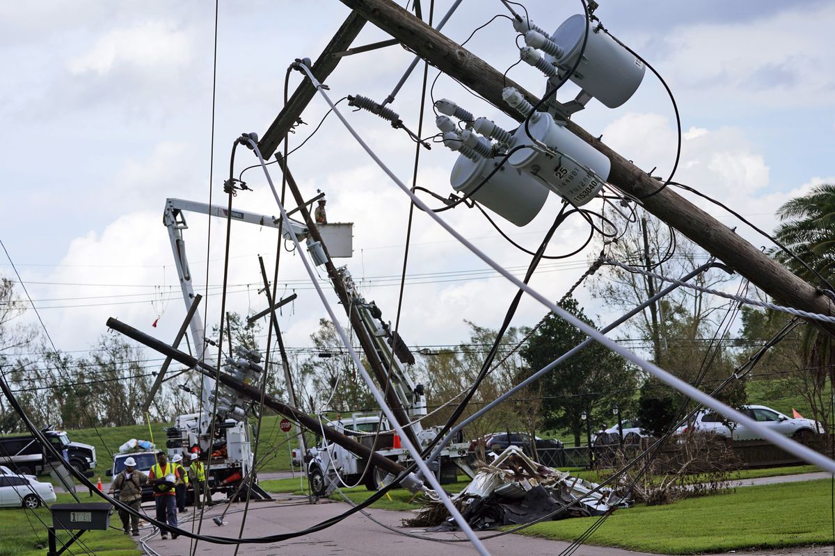
Ida made landfall in southern Louisiana as a monster Category 4 hurricane with maximum sustained winds of 150 mph, leaving the entire city of New Orleans in the dark. That storm hit 16 years to the day that Hurricane Katrina devastated the area.
But Ida, one of the strongest hurricanes ever to directly hit the U.S. was still packing a punch as it moved east with the threat of flash floods across New York and New Jersey.
Flash flood watches have been issued by the National Weather Service through 2 p.m. Thursday for all five boroughs as well as Long Island and Orange, Putnam, Rockland, Ulster, Dutchess, Sullivan and Westchester counties.
The same watch has been issued for Hudson, Bergen, Essex and Union counties in New Jersey and Fairfield County in Connecticut.
Officials said flash floods can develop rapidly and are life-threatening, particularly along highways, streets and underpasses, as well as any other drainage areas and low-lying spots.
The area is still shaking off the water from Henri, the last storm to power through the area. That storm dumped more than 10 inches of rain on parts of the city. bringing Central Park its rainiest single hour in history over the course of a 36-hour downpour.
New York City sent aid to Louisiana in the form of 83 cops and firefighters, as well as equipment used to search and evacuate homes hit by high-force winds.
By Friday, New York skies should clear just in time for a dry, sunny Labor Day weekend with temperatures between the high 70s and low 80s.

